Ardfert Abbey
13th century Franciscan Friary
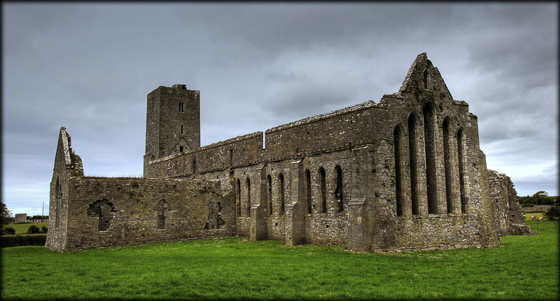
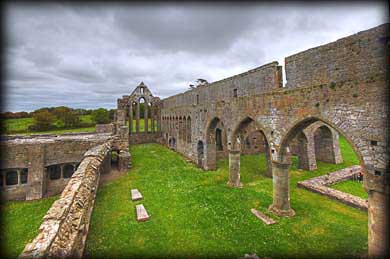
The Friary at Ardfert is situated in an open field about 1/2 mile east of the main Cathedral. It was founded in 1253 by Thomas Fitzmaurice for the Conventual Franciscans. The Friary consists of a large rectangular Church with a southern transept that was added in the 15th century. On the northern side of the church is a large Cloister of which only the eastern cloister remains intact (See image below). The Eastern wall also pictured below has a five lancet window and the southern wall has a nine lancet window. Below the southern window a number of tomb niches and a possible sedelia were added in the 19th century. The image above was taken from two tomb niches in the north wall.
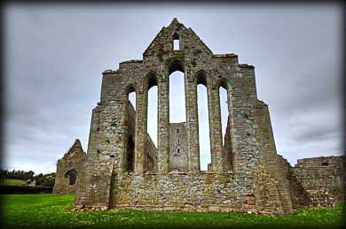
East window
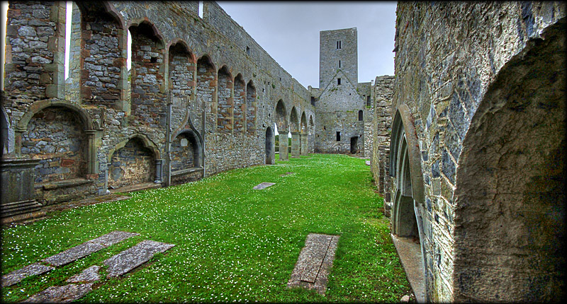
Looking east from the tower
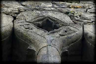
Another two storey building lies to the east of the cloister. We were able to gain access to the second storey via a spiral staircase. This can be a bit tricky, so if attempting be careful. In the north eastern corner of the cloister is a badly damaged carving of a head. A six storey tower with residential apartments, was added to the western end of the church during the 15th century. The first storey can be accessed by using an external stairway. The tower was used as barracks accommodation for soldiers during the 16th century. There is an interesting carving of two heads on the top window of the western wall of the tower. This is quite difficult to see from ground level. The Friary is a very impressive building with lots of interesting features. Our only disappointment being the weather, which was quite dull during the duration of our visit.
Two heads on the west window
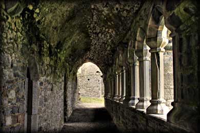
Eastern cloister
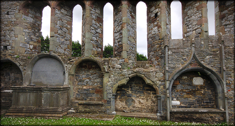
15th century tomb niches
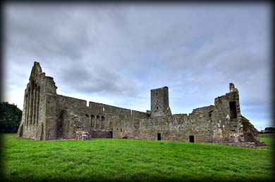
From the north east
Situated: From Ardfert Cathedral head east for 1/2 mile. There is a sign pointing to a PRIVATE laneway that leads to the Friary. Please park here next to the cemetery, and walk the 300 metres up the laneway. NB: The laneway is for pedestrian access only.
Discovery Map71 : Q 7906 2131. Last visit July 2011.
Longitude: 9° 46' 27" W
Latitude: 52° 19' 49" N
Photos: Jim Dempsey and Deb Snelson.